Our industry is a bit behind when it comes to new technologies, maybe it is because the scientific progress is moving slowly or not even significantly changing with time. For instance, we’re all still using Terzaghi’s early 1940’s one dimensional consolidation theory or the SPT to conduct our soil investigation. SPT was standardized between 1920 – 1930 and is still in practice today with minor modifications.
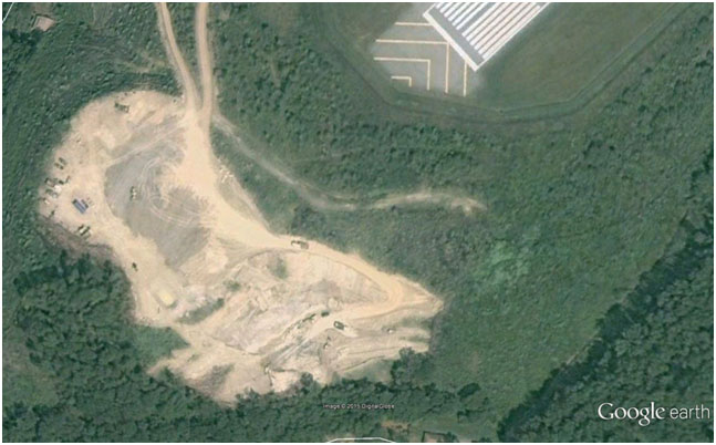
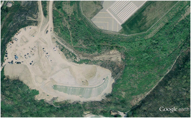
We need to explore new technologies in every part of our profession, from site reconnaissance with the use of satellite imagery or drones, to databases for site investigation and monitoring. We need to accept that technology is evolving rapidly and we should adjust and adopt, we need to go forward!
We still prepare site investigation reports in a static manner, we may use software to prepare them but in the end the reports and information they include is limited, without online cross references or procedures to easily update them with new or additional data. Maybe it is time to change?
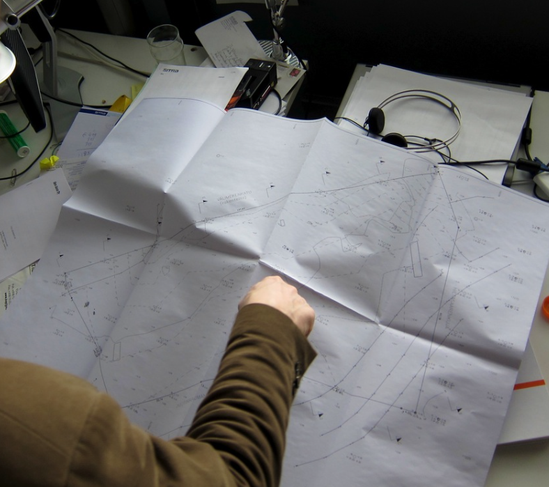
Wouldn’t it be much easier if we could store our site investigation data electronically even from the field?
Wouldn’t be much more efficient if we could correlate different data or data from different locations or from different tests with a click of a button?
Why should we still be buried in thick reports, long sheets of borehole data, difficult to find or correlate and in the end to evaluate them? We are living in the google search era, we are used to type one word or one phrase and expect to have results in a few milliseconds. We should go forward!
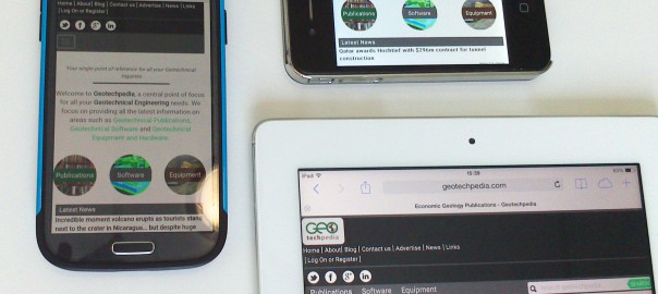
It is time that we utilize new and available technology, utilize the power of easily accessed databases, the power of the cloud, being able to have access of our data from anywhere, from our laptop, from our tablet, even from our smartphone.
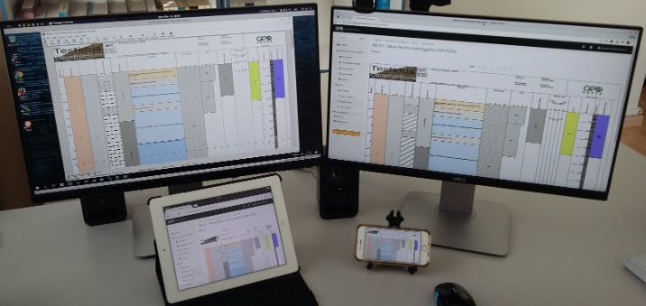
We need to be able to easily find in our data what we are looking for with a simple search box, just type a drilling name, or view in google maps our investigation area and have a quick look of the locations of our drillings in relations with structures, landforms etc. We need to press one button or tap our finger at the screen and access the information we are looking for. We need to be able to represent investigation data in different formats, for different people and different disciplines. Geologists may want to see information that engineers think is useless. Hydrogeologists may want to view a vast number of water chemical analysis next to the geological description of the ground, this is something that a geotechnical engineer would not appreciate much, he would prefer to see his laboratory index and strength tests. The mining reserve engineer would like to see his ore and mineral percentages. We don’t need to prepare different printed reports or different borehole logs for different disciplines any more.
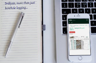
We can now centrally store all our investigation data and then very easily select what we need to correlate with what or what type of information we want to see next to other information. We can do it from our tablet or smart phone.
We can be in a meeting and just tap in our smart phone the drilling we want and see any information we have stored in it in a very easy way. This technology is here and we should consider how it will increase our productivity and efficiency.
Evenmore, maybe very useful information could come out when you see different data placed together, which is very hard with printed reports. The geotechnical engineer gets his own format, the hydrogeologist his, this can stop today. Technology is here and we can easily adapt.

