Category Archives: Engineering Geology

Geosysta at Klokova Tunnel Breakthrough (photos and videos)

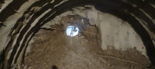
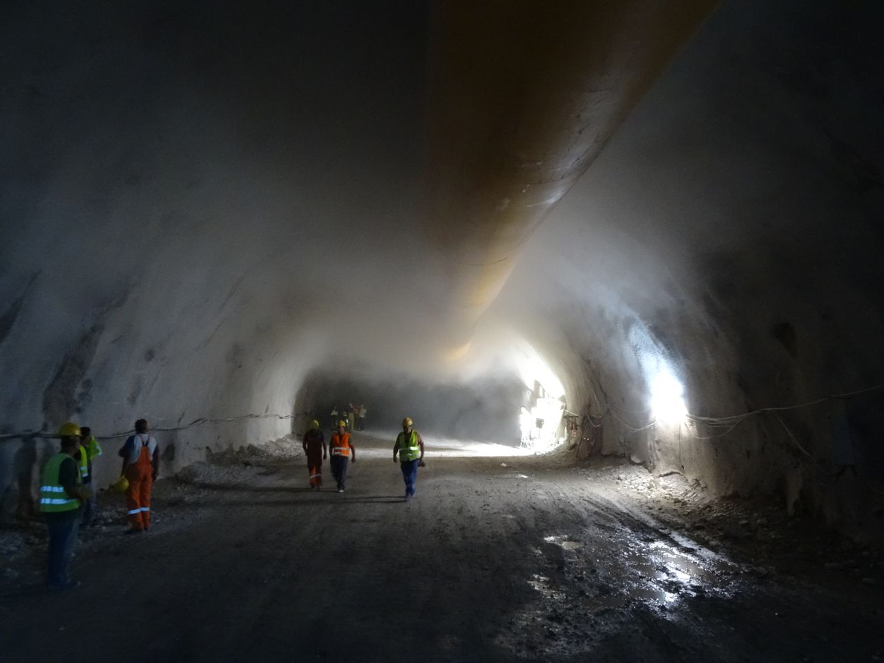
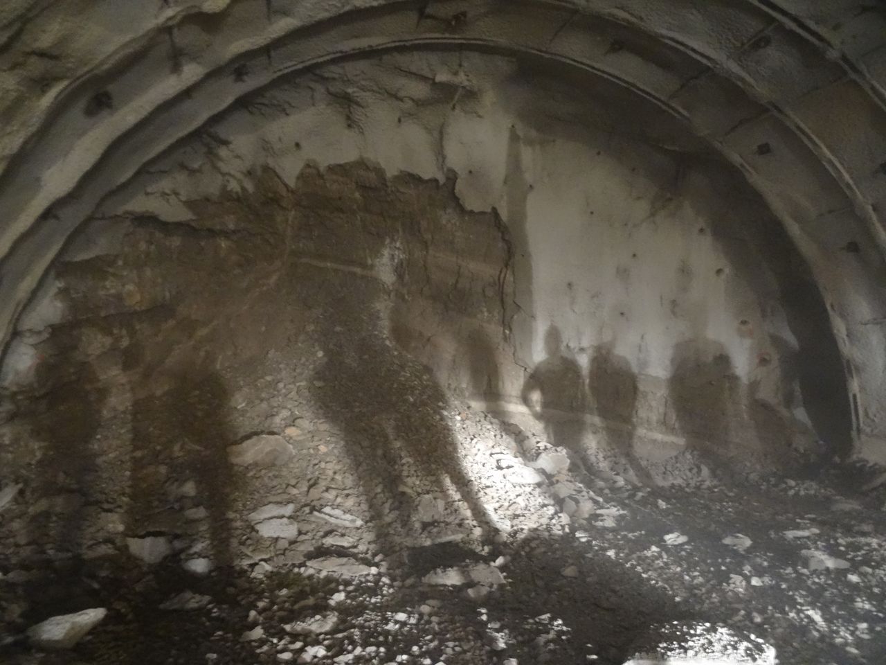
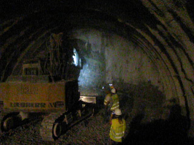
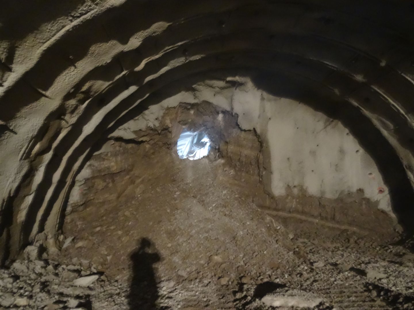
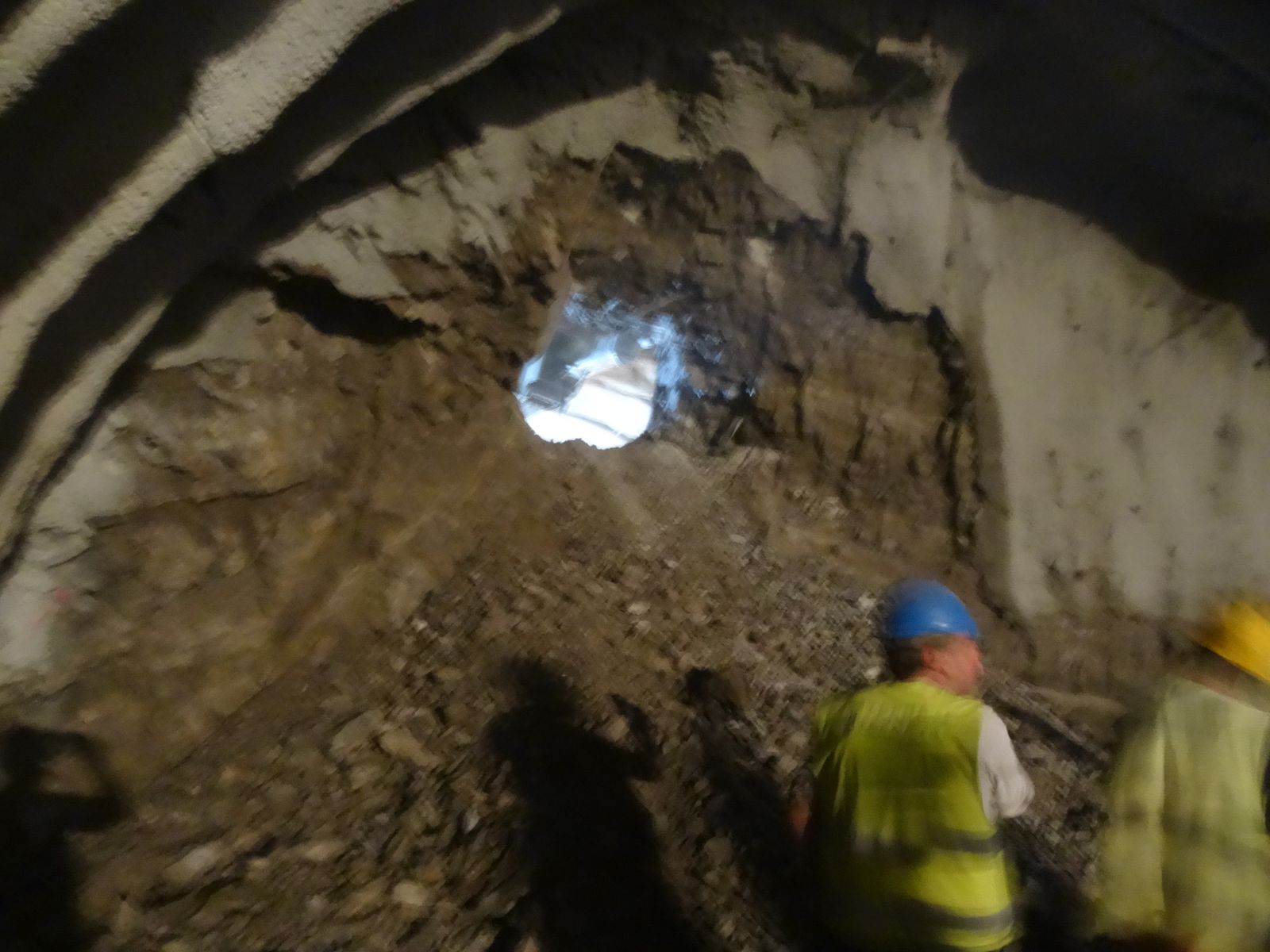
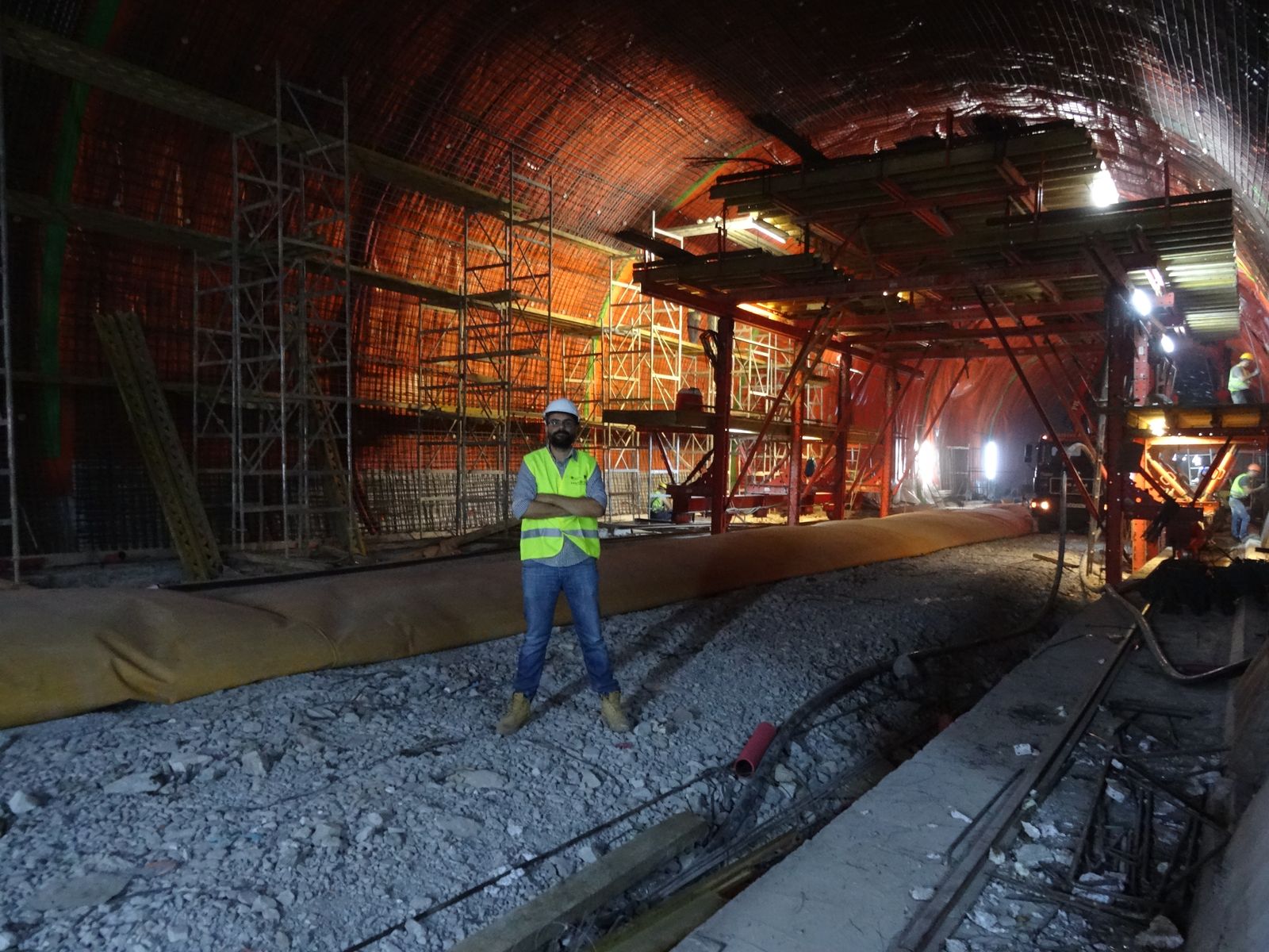
A major milestone at Klokova tunnel has been reached on June 23rd, as part of IONIA Odos Motorway overall progress, with the breakthrough of the twin tunnel right branch (length: 2,900m approximately).

TERNA S.A. engineers tunneled through the final few meters connecting the two segments of the right branch on Thursday afternoon (23/06/2016), after less than 2-years since mobilisation which is considered a major achievement taking into account the difficulties met at several areas.

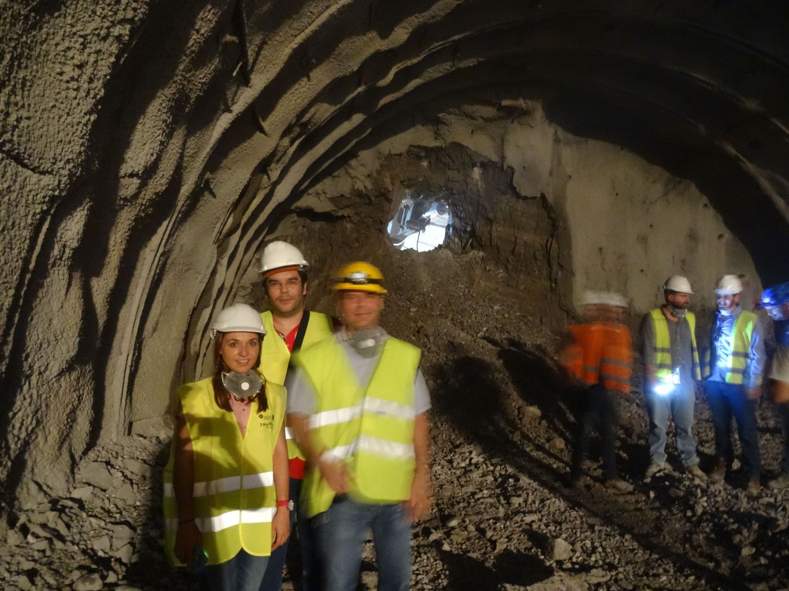
Geosysta Ltd, as part of the design team of the Austrian iC Consulenten ZT GesmbH, are responsible for the primary and final support of the Klokova tunnel, were invited to eye witness the breakthrough and be part of this milestone achievement.

We just couldn’t miss that…!

Initially, the rockmass was loosened with the use of explosives and afterwards, with the simultaneous use of two hydraulic hammers, TERNA people managed to bring down the final thin layer of bedrock standing between the two tunnel sides.

Seconds after blasting
Fig. 1: Seconds after blasting
Fig. 2: Tunnel back face after blasting

Watch the moment of the breakthrough from two different angles below.

MVI_4907

Klokova tunnel breakthrough

Fig. 3: Tunnel breakthrough
Fig. 4: Tunnel breakthrough
Fig. 5: Geosysta and iC personnel celebrating with TERNA personnel (from left to right) Georgia Papavgeri, Alexander Athanassiou, Chrysanthos Steiakakis

IONIA ODOS

IONIA ODOS will be connecting the entire Western Greece starting at Ioannina and following the western coastline of mainland Greece down to the Gulf of Corinth. At Rio, it crosses the gulf via the Rio-Antirrio Bridge. The new motorway is currently under construction and includes:

  • 196 km of a new, modern and high-standards motorway
  • 4 bidirectional tunnels of a total length of 11,2 km
  • 24 bridges of a total length of 7 km
  • 77 underpasses and 24 overpasses
(source: www.neaodos.gr/)

KLOKOVA TUNNELS

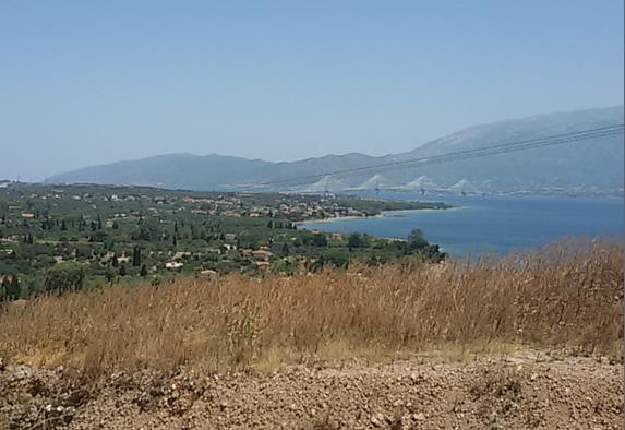
Klokova tunnel is located in the south-west of Aitolia- Akarnania region in Greece and, more specifically, at a distance of about 7km from the Rio-Antirrio Bridge. The current national highway alignment runs along the south outskirts of Klokova mountain.

Fig. 6: Wider area of project’s location (SW Greece / Aitolia – Akarnania)
Fig. 7: Existing national highway alignment along Klokova mountain outskirts
ScreenShot3
Fig. 8: View of the Rio-Antirrio bridge from the Klokova tunnel entry portal

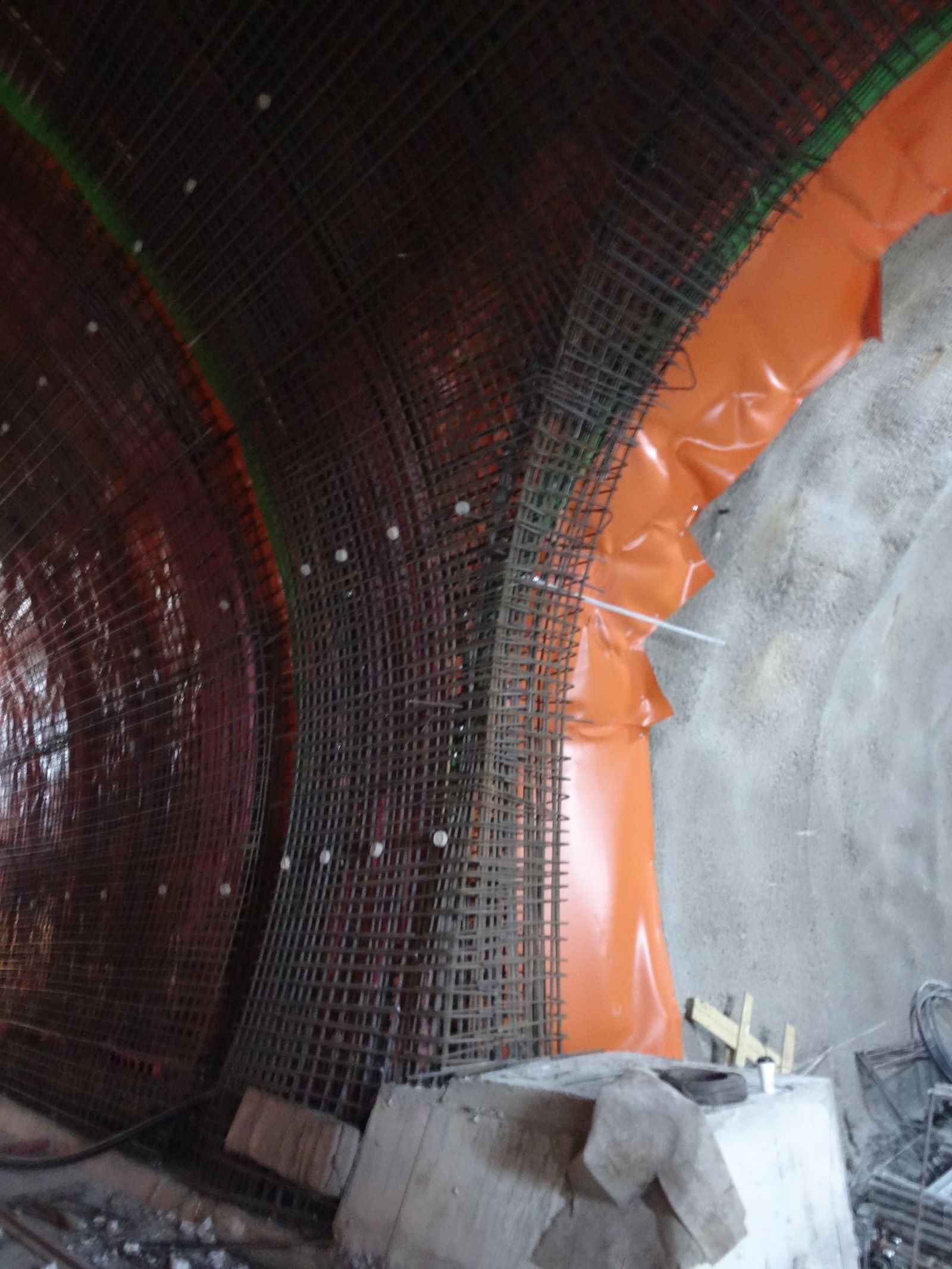
Klokova tunnel project consists of a twin tunnel with an approximate length of 2,900m (RHT 2,913m and LHT 2,894m). The two horseshoe shaped tunnels are of an internal radius of 5.5m and a maximum width of 11.0m accommodating 2 traffic lanes of 3.75 and 3.5m, respectively. The maximum overburden height reaches 535m, approximately. Klokova tunnel is the longest one out of the four IONIA Odos tunnels (the other three tunnels are the Makinia, Ampelia and Kalidona ones).

Fig 6
Fig. 9: Klokova tunnel (Left branch)
Fig. 10: Klokova tunnel (Cross-passage area)
Fig. 11: Klokova tunnel (Cross-passage area)

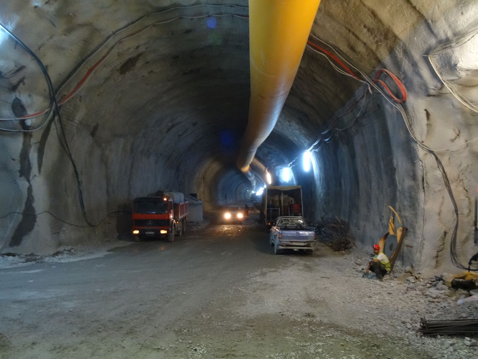
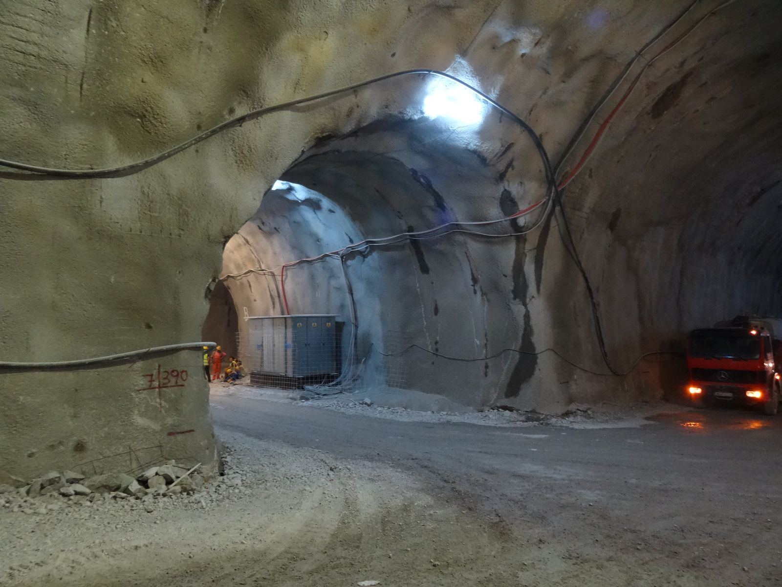
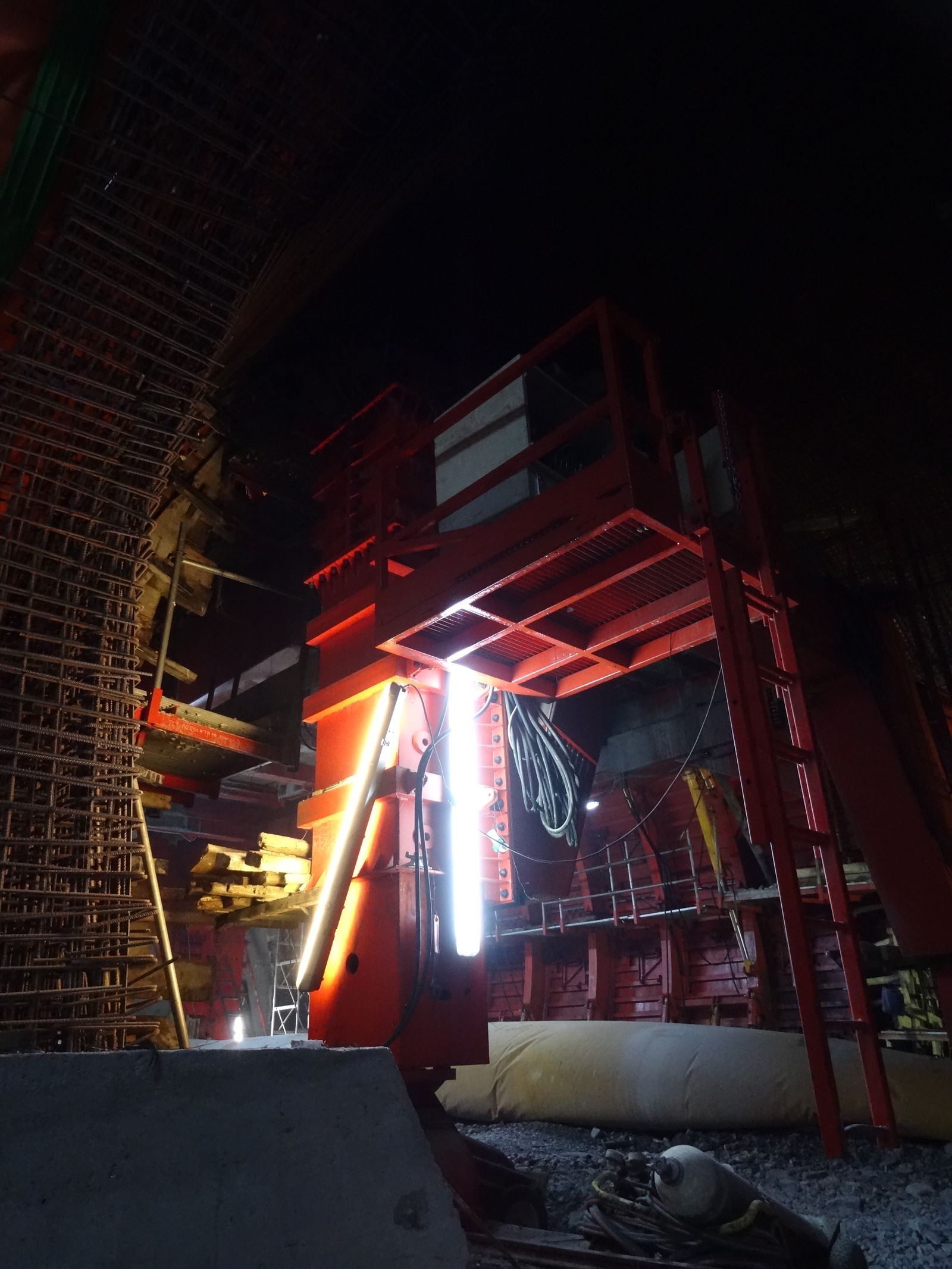
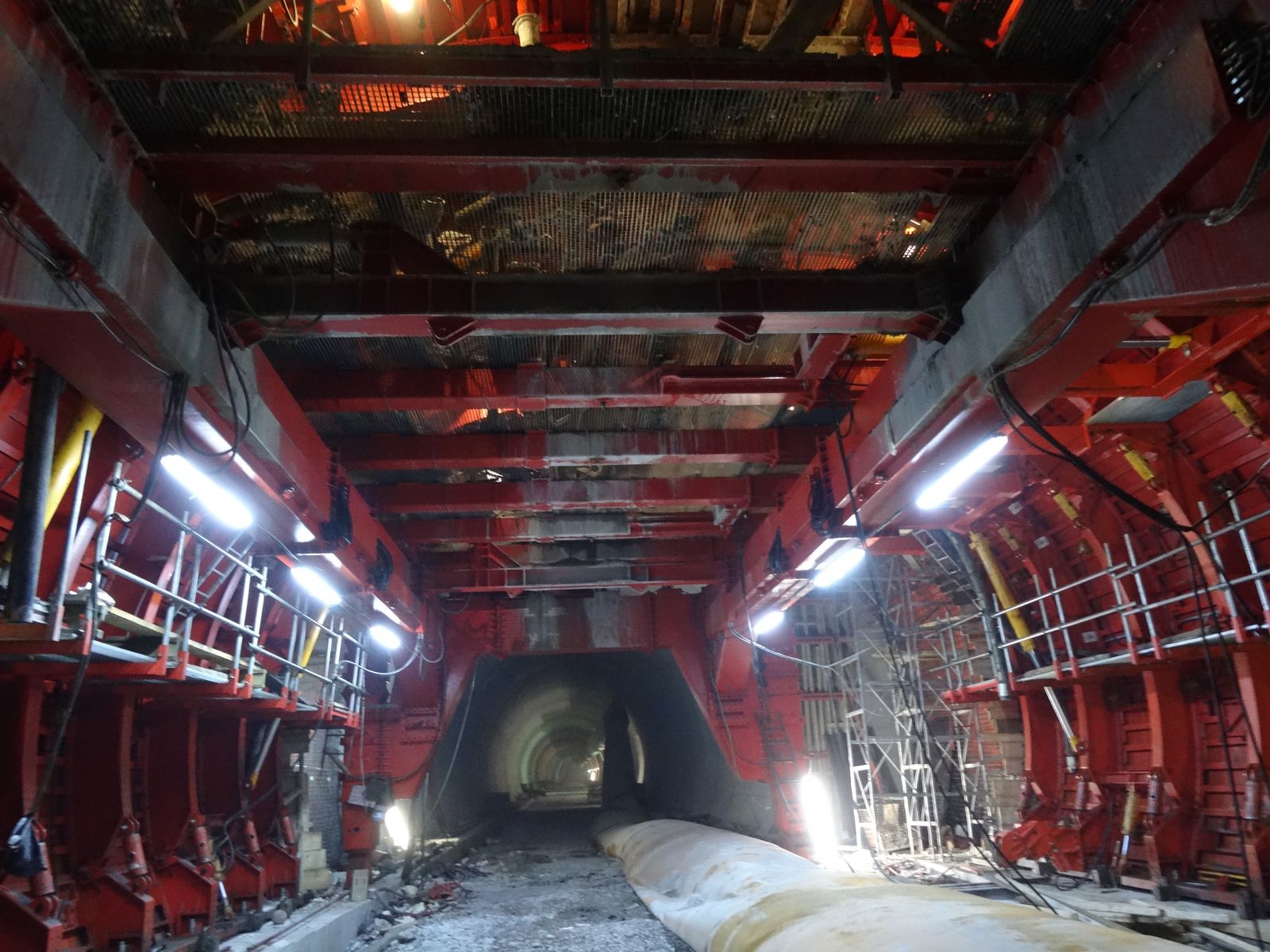
Each tunnel section is being excavated in two stages. The upper semi-section is excavated first and then the excavation of the lower section follows. At the areas where poor quality rockmass is encountered the solution of invert at the bottom of the tunnel is implemented.

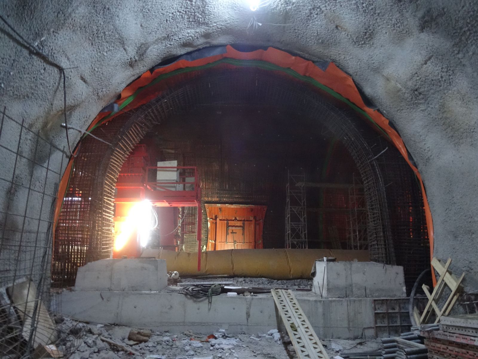
The excavation progresses with the use of explosives and hard ripping techniques are adopted at the areas where poor quality rockmass is encountered. Primary support follows the principles of the NATM.

Fig. 12, 13, 14, 15: Klokova tunnel (Final lining works)

Geosysta personnel are feeling proud of having participated in the majority of the design’s geotechnical aspects of this major infrastructure project.

Fig 11

Fig. 16, 17: Geosysta personnel on site (Georgia Papavgeri & Thanasis Leventakis)

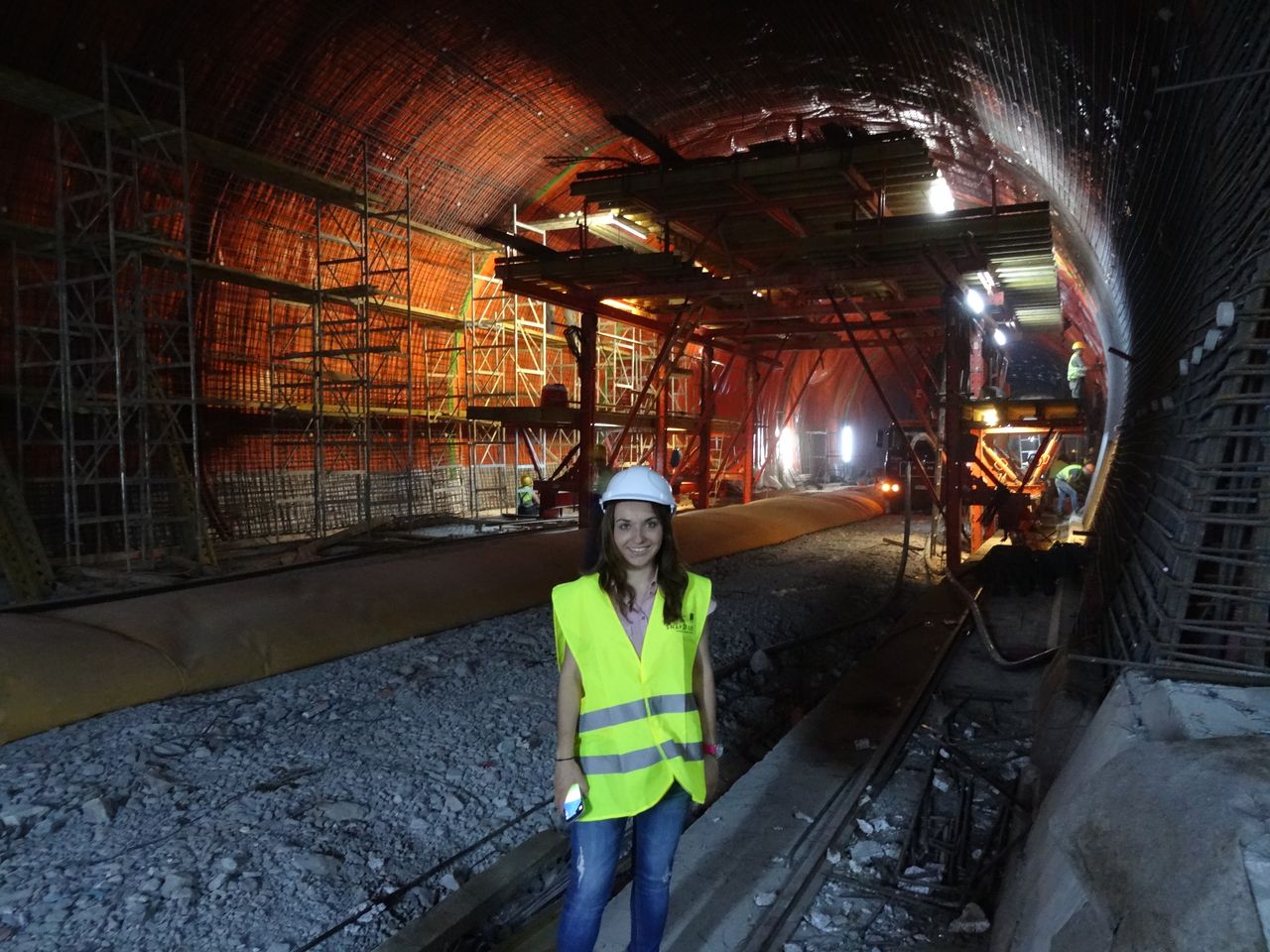
Being on site during these very moments when our design comes into “life” is priceless to us.

geotechSYSTAThe Geosysta Team

ISSMGE Paris 2013. What did you miss?

A brief feedback from Chrys Steiakakis

A brief summary  for all the people that could not make it to the 18th International conference on soil mechanics and geotechnical engineering held on Paris between Monday 2 and Friday 6th of September 2013. The conference main theme was “Challenges and Innovations in Geotechnics”.

The conference commenced with the former president J. L. Briaud presentation of “The State of the Society” in which a very interesting point was his 10 rules for success.

J. L. Briaud presentation of “The State of the Society”

The conference continued with the 8th Terzaghi Oration invited lecture from Susan Lacasse of the Norwegian Geotechnical Institute (NGI).

Susan Lacasse presentation “Protecting society from landslides – the role of the geotechnical engineer”

The title of the lecture was “Protecting society from landslides – the role of the geotechnical engineer”. The lecture presented case studies of landslides, their causes and the way they were analyzed and treated. Very interesting was the Kattmarka landslide that occurred on March the 13 2009 (which incidentally was Friday the 13!) and was caused because of the road construction. Main issues that led to the landslide were among others the limited geotechnical investigation and geotechnical design.

The first day continued with the Ishihara lecture presented by George Gazetas from the National Technical University of Athens (NTUA). The presentation title was “Soil-Foundation-Structure systems beyond conventional seismic failure thresholds”.

George Gazetas presentation “Soil-Foundation-Structure systems beyond conventional seismic failure thresholds”

He presented a novel approach of designing shallow foundations that are not designed to behave elastic in earthquake loading but to be able to work in extreme conditions and allow for uplift and bearing capacity slippage with acceptable limits of temporary and permanent deformations (settlements). This approach is contrary to current codes but it was shown that it could avoid structural damage and collapse.

The conference continued with the Manard Lecture presented by J. L. Briaud with title “The pressuremeter test: Expanding its use” in which he explained how to correctly utilize the PMT, how to execute the drillings and what the advantages of the pressuremeter test are. Furthermore he gave some reference values for preliminary design and some further extend of the test in liquefaction.

J. L. Briaud presentation “The pressuremeter test: Expanding its use”

A.Sim of Soletanche-Bachy provided an excellent presentation regarding the construction challenges and difficulties for the new Bugis Station and associated tunnels for the Mass Rapid Transit in Singapore.  Especially interesting were the methods used to overcome the passage of the tunnels and the station under or very near buildings.

A.Sim of Soletanche-Bachy presentation

Professor R. Jardine of Imperial Collage presented the Bishop Lecture in which he presented a state of art of laboratory testing and the use in research and practice. The lecture covered driven piles in sand and the detailed laboratory evaluation of these sands in order to predict pile behavior in static and cyclic loading.

Professor R. Jardine presentation Bishop lecture

The conference continued the next day with very interesting invited lectures that will be presented in a following entry.

Impressive fault mirror study in central Greece

Greece is a country with high seismicity rates. As a consequence evidences of faulting are spread throughout the country. In this blog a particular fault mirror has come into our notice in central Greece, Fthiotida area, known as Arkitsa fault. This spectacular fault mirror is a subvertical feature 65m tall and about 300m long. The Arkitsa fault mirror is located in an area adjacent to the famous historic Thermopylae pass (Hot Gates), which is characterized of normal tectonic features and geothermal springs known since antiquity.

arkitsa fault mirror
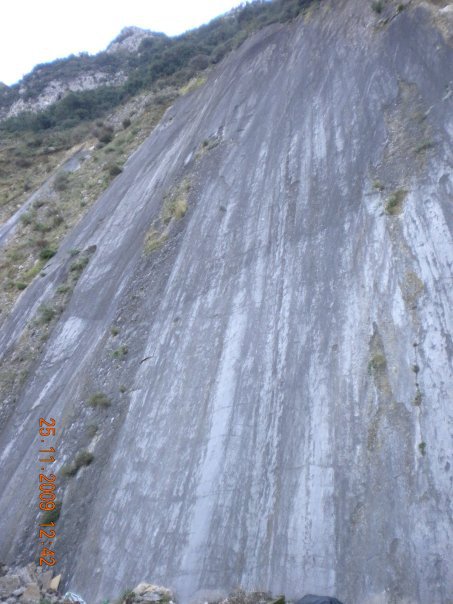
The Arkitsa fault is considered by geologists to be active even though its historic activity has not been recorded. For this reason the Department of Geology of University of Patras (Greece), with
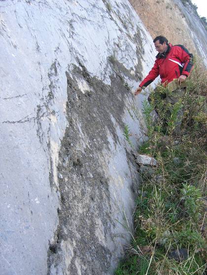
 Prof. Sotiris Kokkalas in charge, in cooperation with Durham University (UK), has initiated a study of the fault mirror of Arkitsa based on LiDAR technology. The purpose of this study is to provide a detailed geometric survey of Arkitsa fault so as to predict the magnitude of a future earthquake.

In addition a palaeoseismology analysis has been performed in order to estimate the seismic activity of the fault for the last 10.000 – 20.000 years. The analysis included collection of clay samples from the fault zone. Modern methods were used such as radiocarbon dating, scanning electron microscope and X-ray microanalysis. The palaeoseismological data indicate that Arkitsa fault has given at least four significant earthquakes the last 20.000 years. It is estimated that the last one was around 1300 – 1110 BC. In addition archaeological relics of destruction in an adjacent ancient settlement, as well as radiocarbon dating in tsunami deposits, possibly indicate this last activation of Arkitsa fault.

Arkitsa Greece fault mirrorIt is considered that the time span of significant magnitude earthquakes of Arkitsa fault is large i.e. every 3.000 to 5.000 years. As a consequence since the last one was almost 3.000 years past, nowadays we are going through a period of time likely to give a seismic reactivation of the fault. Even though the wider area is deformed slowly (1-3 mm/year), Arkitsa rupture together with the adjacent Atalanta fault, are considered to be active.

Studying the Arkitsa rupture, scientists have decreed that in case the fault is reactivated, the maximum earthquake magnitude will be 5.9 to 6.2. It should be noted that this particular fault mirror presents a complexity that deviates from planar geometry.

This study is still in progress and its results are expected with interest. Hopefully similar studies will contribute in future to the scientific area of earthquake prediction, since this matter concerns a large number of humans around the world.

Source: http://www.enet.gr/?i=news.el.episthmh-texnologia&id=371724

Slope stability and scale effects

In previous entries the issue of stiff fissured clays and the time to failure was briefly touched. The design of such slopes is not a trivial matter and requires significant knowledge of soil mechanics, geology, hydrogeology etc. One additional issue mentioned (one that sometimes is neglected) is the scale effect. This was presented in the previous entry for a very deep mine in rock. This issue of scale effect in relation to stress field will be briefly presented for the case of stiff fissured clays and hard soils.

In the following picture a large highway cut of about 30m is shown. For a civil engineering project this is a significantly high cut. The effective stress filed in this cut can range from of 50 – 500kPa which is the normal range for laboratory testing.

Highway cut

In the second picture a large excavation for a lignite mine is presented. The depth of excavation of this multi bench cut is around 135m. The excavation of this type needs to consider bench stability of slopes with heights of around 18m and also overall slope stability for highs above 135m. In the second case a large part of a possible failure surface could be in a stress field of around 1500-2000kPa or even more.

 Coal mine slopes

In the following figure the two types of cuts are compared and one can easily understand the significance of scale effects in the design of the different cuts.

Scale difference of coal mine and highway slopes

The scale of the mine excavation is such that even in one cross section, one has to consider besides the stress field, differing geology (pic 4), presence of faults, ground water locations and pore pressures etc. We will focus on the stress dependency at this point.

mine slopes

According to Stark et al, (2005) both fully softened and residual failure envelopes are stress dependent. In this work Stark et al provides an empirical graph regarding the stress dependency until 700kPa of normal stress for residual friction angle and 400kPa for fully softened friction angle.

Shear strength information for higher effective stresses >1MPa are not readily available. Furthermore execution of such tests in very high effective loads is not easy for most commercial laboratories. It may even be very difficult to execute ring shear tests in very high loads due to sample thickness and squeezing out from the sides.

In such high slopes the failure surface can pass from a number of soil layers with different shear strength properties. It is not easy to evaluate the “average” shear strength of layers involved in a possible failure surface. Unfortunately a rule of thumb for selecting shear strength parameters for such slopes cannot be provided. Engineering judgment is required in selecting such parameters and the stress conditions must not be ignored. Shear strength tests should be evaluated in relation to the expected stress field.

Sinkholes: Is it a natural or man induced hazard?

Lately the subject of sinkholes has appeared on press due to a fatal incident in Florida USA and several incidents in Samara Russia.

In the first case a man sleeping in his bedroom in Tampa Florida, disappeared when a 5 – 10m diameter sinkhole opened suddenly under his house. The estimated depth of the sinkhole was approximately 10m. Despite the authorities’ efforts the 37 year old man could not be rescued.sinkhole

 In city of Samara in Russia similar phenomena disturb everyday life. It has been reported that huge sinkholes have sprung up all over the city, in car parks, intersections and road sides, sometimes big enough for busses to disappear in them.

But why some areas like Florida are plagued by sinkholes?

Sinkholes are mostly a karstic feature along with caves and underground drainage systems. Karstic landscape is formed from the dissolution of soluble rocks such as limestones, dolomites, marble, gypsum and salt. Such karst region is Florida, presenting numerous superficial karstic features i.e. sinkholes or dolines. Florida Sinkholes

In order to understand and deal with this geologic hazard the American Geological Institute, produced an interesting booklet, explaining such phenomena.

Solution sinkholes appear when acidic water moves through the bedrock dissolving it. The underground water flow dissolves soluble rocks at or just below the water table.  This way underground water canals in bedrock are expanded and roof caves can collapse when becoming too wide to support the bedrock overlying them.

The danger of collapse increases when water table is lowered and underground caves are drained thus eliminating water buoyancy (supporting force). Usually soils overlying bedrock are forming a sinkhole when deeper soils wash into underground karstic caves. This case is the most common occurring.

Human activity such as poorly designed drainage, failed water and sewer systems and ground vibrations can lead to sinkhole formation, mainly because large amounts of surface water infiltrates in soluble bedrock. In addition dewatering activities trigger the appearance of sinkholes by rapidly lowering water tables.

IAEG XII Congress: Engineering Geology

IAEG XII congressIAEG (International  Association for Engineering Geology) organizes the XII Congress that will be held in Torino (Italy) from 15 to 19 September, 2014. The topic of the IAEG XII Congress is: “Engineering Geology for Society and Territory” and aims to explore and analyze the role of Engineering Geology.


There are four main themes offered to participants:

  1. Environment: River Basins, Reservoir Sedimentation and Water Resources
  2. Processes: Landslide Processes, Marine and Coastal Processes,
  3. Issues: Urban Geology and Landscapes Exploitation, Preservation of Cultural Heritage
  4. Approaches: Applied Geology for major Engineering Projects, Education Professional ethics and Public Recognition of Engineering Geology

Deadline for abstract submission is fast approaching : 15/04/2013, while the estimated Deadline for Full Paper submission is September 30, 2013.